

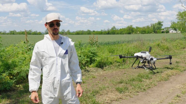
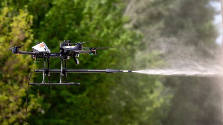
Drone Power in Real Life: Field Experiences with the L30 V2 Modern agriculture is constantly...
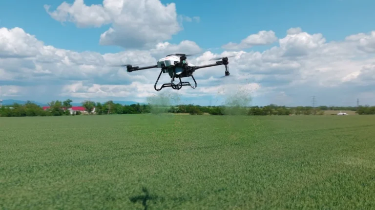
L30 V2 – Wheat field treatment at the MATE (Hungarian University of Agriculture and Life...

ABZ Innovation C10 – Washing Drone Use Case – Mossy Roof This document presents a use case that...

ABZ Innovation C10 – Cleaning Drone Use Case – Factory Building This document presents a use case...
Technical Report on the Spraying Uniformity of ABZ Innovation Agricultural Drones 1.0...
ABZ Control 2.0: The Future of Agricultural Drone Software IntroductionPrecision agriculture...

Drone Power in Real Life: Field Experiences with the L30 V2 Modern agriculture is constantly...
Drone-Based Vertical Pressure Washing Analysis Overview This document outlines the operational...
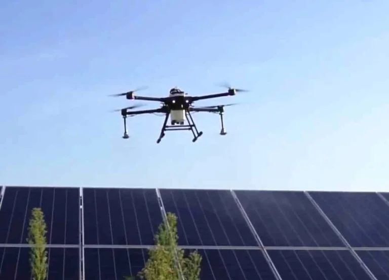
Solar panel washing – L30 performance Assumptions (with 2×3m Panels) Parameter Value Panel...


